
Ramona fire: Evacuations around Creelman Lane as brush fire spreads rapidly; check map, videos
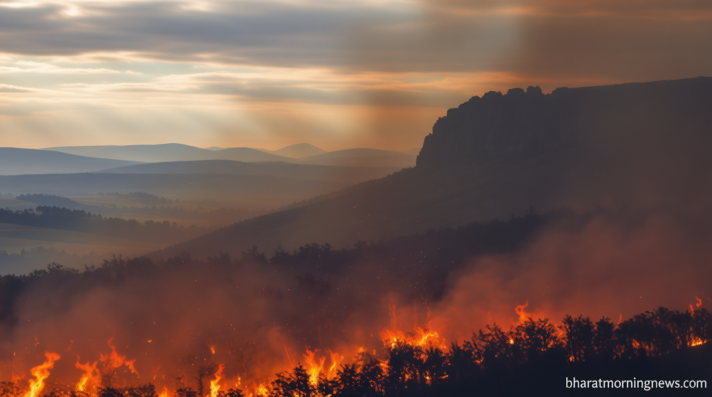
Ramona Fire Evacuations: Creelman Lane Residents Urged to Leave
Bharatmorningnews.com – A rapidly spreading brush fire has prompted emergency evacuations in Ramona, California, as flames continue to grow and threaten nearby homes. The Ramona fire, which began near the 300 Block of Creelman Lane, has already consumed approximately 30 acres of land according to Watch Duty tracking data. Residents in the immediate vicinity are being asked to leave their properties as the blaze moves through the neighborhood with increasing intensity.
Evacuation Orders and Alert Levels
Local authorities have implemented a Level 3 evacuation order for communities surrounding Creelman Lane, with several zones already operating under Level 2 status and preparing for potential upgrades. The Level 3 directive requires immediate departure for all residents in the designated area. This urgent warning stretches northward from Creelman Lane, then extends eastward and northward as the fire advances through the region.
The evacuation boundaries extend eastward from Creelman Lake toward Gunn Stage Road, while the northern limit reaches Julian Road, where it meets Old Julian Highway. Communities along Visa Ramona Highway are also included in the Level 3 evacuation mandate. Meanwhile, Level 2 “Stay” alerts cover areas both north and south of Hanson Lane, as well as neighborhoods north of Creelman Lane near Gem Lane and Ashley Road. These instructions advise residents to remain alert and ready to evacuate if conditions deteriorate.
Emergency Response Efforts
Multiple CalFire engines are currently deployed to combat the spreading flames. Incident commanders have reported that the fire is advancing at a “critical to dangerous rate and is burning in light to medium fuels.” This rapid progression has necessitated the immediate evacuation of residents in the most vulnerable areas.
Ramona High School, located on Hanson Lane, has been established as a temporary evacuation center for displaced residents. For those with large animals requiring special accommodation, the Ramona Rodeo on Aqua Lane has been designated as an alternative shelter location, according to local emergency management officials.
Community Impact and Visual Coverage
Residents have taken to social media platforms to share photographs and video footage documenting the fast-moving wildfire. Dense black smoke from the burning vegetation became visible throughout the city and extended as far as Escondido, creating hazy conditions for the broader region.
A local photographer captured images on X showing air response operations currently underway in Ramona to help contain the fire. These aerial efforts are crucial in monitoring the fire’s progress and preventing further spread into residential areas.
The fire is spreading at a “critical to dangerous rate and is burning in light to medium fuels.”
A map from Watch Duty illustrates the affected zones, with red highlighting Level 3 warnings and yellow marking Level 2 alerts. The visual representation helps residents quickly identify their evacuation status and understand the scope of the emergency response efforts currently underway in the Ramona area.