
India issues names for 27 Arunachal locations in response to China’s renaming moves
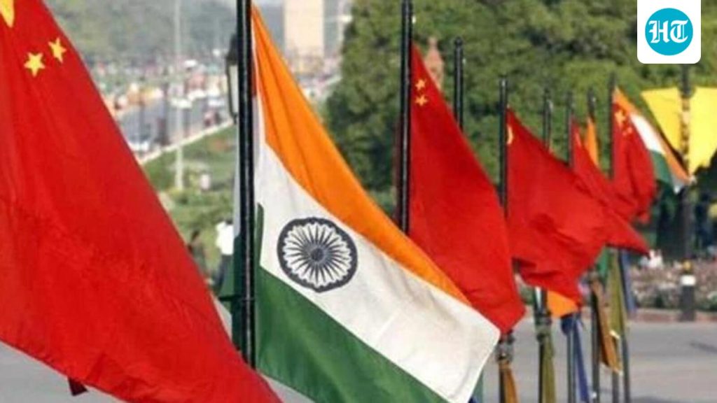
India Names 27 Arunachal Places After China’s Renaming Push
Bharatmorningnews.com – New Delhi has officially issued names for 27 Arunachal locations as a direct countermeasure to Beijing’s systematic renaming campaign. The formal designations were announced on Friday, with government sources confirming that these sites along the Line of Actual Control have now been standardized on the Survey of India’s official cartographic records. This strategic move aims to strengthen India’s territorial claims and reduce map-related ambiguities that China has historically exploited.
Official Designation of Key Locations
The Union home ministry’s declaration, made after consultations with the Arunachal Pradesh state government, covers a diverse range of geographical features. The list includes 21 land territories, four mountain passes, one lake, and a memorial monument. Among the most significant is Longju, a border settlement that has remained under Chinese administration since 1959 while continuing to fall within India’s territorial claims.
The land territories designated include Longju, Maja, Bisa, Bara Kundun, Chhota Kundun, Dhan Bari, Pritnagar, Buddhamandir, Jairampur, Teritnagar, Ramnagar, Jaswant Garh, Sagar, Padma, Jyotinagar, Baisakhi, Chhota Ropuk, Bara Ropuk, Shivaji Nagar, Sunpura, and Kamlang Nagar. The four mountain passes identified are Dzo La, Riza La, Pukur La, and Thag La. The Sambho Sarovar lake and Sher-e-Thapa Memorial complete the official list.
Identifying them formally on the Survey of India map of Arunachal Pradesh is aimed at facilitating their accurate recognition and better awareness among the public at large.
Strategic Context and Diplomatic Implications
A government insider explained that map inconsistencies have historically created confusion in border regions. Beijing has taken advantage of these ambiguities to assign alternative names to Arunachal Pradesh territories, which India considers integral to its sovereignty. The recent formalization effort seeks to consolidate India’s sovereign and legal authority over these contested areas.
There has been a lot of ambiguity regarding the maps. China uses this to give fictitious names to Arunachal Pradesh’s territories, which are part of sovereign India.
Putting these 27 locations on the Survey of India map provides clarity, makes our claim status strong and strengthens the official documentation of geographical features.
Officials emphasized that mapping these locations on the Survey of India cartographic records confers administrative and governance significance. Designated places become more readily referenceable in land records, revenue documentation, census data, infrastructure development plans, and border road construction projects.
China’s Ongoing Renaming Campaign
Over recent years, China has consistently introduced its own standardized nomenclature for numerous Arunachal Pradesh locations as part of its territorial assertions. Beijing refers to the region as “south Tibet” and has occasionally issued stapled visas to local residents, further complicating diplomatic relations.
In November 2025, India lodged a formal protest after a woman from Arunachal Pradesh was held by Chinese authorities at Shanghai airport. The detention occurred because officials questioned the validity of her Indian passport. Earlier this year, following China’s designation of 23 locations in Arunachal Pradesh, the external affairs ministry cautioned that such maneuvers to construct “baseless narratives” would not modify the factual situation and might impede bilateral normalization efforts.
India categorically rejected “any mischievous attempts by the Chinese side to assign fictitious names to places which form part of the territory of India”. He added, “China should refrain from actions which inject negativity into relations and undermine efforts to create better understanding.”
Jaiswal said such moves by China, aimed at introducing false claims, cannot alter the “undeniable reality that these places and territories, including Arunachal Pradesh, were, are, and will always remain an integral and inalienable part of India”.
China’s ministry of civil affairs, tasked with standardizing geographical nomenclature in “south Tibet,” published a notification renaming the 23 locations, which included rivers, peaks, and settlements.
Frequently Asked Questions
Why did India issue names for 27 Arunachal places?
India issued names for 27 Arunachal places to counter China’s systematic renaming campaign and to reduce map-related ambiguities that Beijing has historically exploited to assign alternative names to the region’s territories.
What are the key locations included in India’s naming initiative?
The 27 locations include 21 land territories such as Longju and Maja, four mountain passes (Dzo La, Riza La, Pukur La, and Thag La), the Sambho Sarovar lake, and the Sher-e-Thapa Memorial.
How does this affect India-China relations?
The naming initiative strengthens India’s territorial claims and official documentation. However, it may temporarily complicate bilateral relations as China continues its own renaming efforts in the region.
What is the significance of the Survey of India map in this context?
Mapping these locations on the Survey of India map provides clarity, strengthens India’s claim status, and makes the designated places more readily referenceable in land records, revenue documentation, and infrastructure development plans.