
Hurricane Fausto strengthens into Category 2 storm as it moves toward Hawaii; latest path and warnings
Bharatmorningnews.com – “`html
Hurricane Fausto Strengthens to Category 2, Eyes Hawaii
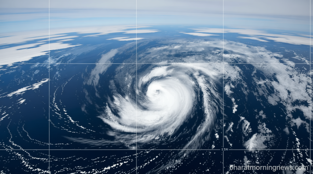
Weather systems across the Pacific are capturing attention as Hurricane Fausto strengthens into Category 2 status while making its way toward the Hawaiian archipelago. Meteorologists at the National Hurricane Center are closely monitoring the storm’s progression, noting that residents and visitors in Hawaii should prepare for potential impacts in the coming days. The intensifying system has already generated significant concern among coastal communities, with officials urging continued vigilance as the hurricane’s trajectory becomes clearer.
According to the latest advisory from the Miami-based National Hurricane Center, the probability of Hawaiian impacts continues to rise. While experts acknowledge that it is still too early to determine the exact path or severity of conditions, they emphasize that the storm’s current position and movement patterns suggest a meaningful chance of affecting the islands. The hurricane center has advised all interested parties to stay informed through official channels as updates become available.
“Interests in the Hawaiian Islands should monitor the progress of Fausto,” the hurricane center stated in its advisory.
Current Position and Wind Speeds
The National Hurricane Center reports that Hurricane Fausto strengthens into Category 2 classification with maximum sustained winds reaching approximately 105 miles per hour, equivalent to 169 kilometers per hour. This wind speed places the storm firmly within the Category 2 range on the Saffir-Simpson hurricane scale. The system is currently positioned roughly 1,400 miles west of Mexico’s Baja California peninsula’s southern tip and about 1,500 miles east of Hilo, Hawaii, placing it squarely in the central Pacific region.
Weather forecasters anticipate that the storm will gradually weaken over the next several days as it continues its westward movement. However, authorities remain cautious and are tracking the system’s evolution closely, recognizing that tropical storms can change direction and intensity with relatively little warning. The potential for Hawaiian consequences remains a primary concern for emergency management officials across the state.
Warnings and Additional Pacific Systems
At this time, the National Hurricane Center has not issued a direct land warning specifically for Hawaii, but residents and tourists are encouraged to maintain awareness of developing conditions. Beyond the Hawaiian Islands, portions of Southern California may also experience effects from Hurricane Fausto strengthens into Category 2 and continues its journey. The hurricane center has warned that swells generated by the storm could create hazardous surf conditions and life-threatening rip currents along sections of the California coastline.
Meanwhile, meteorologists are tracking another Pacific tropical system located approximately 600 miles south of Zihuatanejo, Mexico. This secondary system currently shows potential to develop into a tropical storm and possibly strengthen further, though it presently poses no immediate threat to land areas. The presence of multiple Pacific systems adds complexity to weather forecasting for the region.
Tropical Storm Bertha Dissipates After Gulf Coast Passage
While Hurricane Fausto strengthens into Category 2 and advances across the Pacific, Tropical Storm Bertha has weakened following its passage through Gulf Coast regions. Bertha produced heavy surf and flooding concerns as it moved through the area, completing two separate landfalls before losing strength. The storm first made landfall in southern Louisiana before striking Texas approximately 75 miles northeast of Galveston. Following its second landfall, Bertha downgraded from tropical storm status to a depression.
The National Hurricane Center announced that Bertha dissipated by late Thursday, though remnants of the system continued creating flash flood risks in coastal and southern Texas areas. Officials projected rainfall totals ranging between 1 and 3 inches across affected regions, with certain isolated zones potentially receiving up to 4 inches of precipitation. Elevated water levels were expected to persist for some time due to storm surge effects.
No fatalities or significant damage were documented from Bertha, although coastal flooding occurred during its initial Louisiana impact. The storm’s cloud cover also disrupted SpaceX’s Starship test flight schedule from southern Texas, with the launch delayed due to weather conditions and subsequently rescheduled for a later date.
“`